Number of posts: 20
Keys available: ['Learning_Air_Pollution_with_LSTM_RNN', 'Analyzing_Biking_Behavior_using_Bike-Sharing_Data', 'Crowdsourcing_City_Functions_Through_Social_Media', 'Detecting_Tourism_Destinations_via_Geospatial_Analysis', 'Land_Surface_Temperature_and_Land-Use_Change', 'Georeferenced_Word-Clouds_for_Health_Research', 'Crowdsourcing-Based_Travel_Planning_Tool', 'Improving_Spatiotemporal_Interpolation_with_Machine_Learning', 'Estimating_Population_Exposure_to_Fine_Particulate_Matter', 'Analyzing_Tourist-Local_Interaction_in_US_Cities', 'Effect_of_Smartphone_Sensors_for_Travel_Optimization', 'Urban_Green_Space_Dynamics_Amid_Urbanization', 'Analyzing_Event_Evolution_with_Social_Media_Data', "Investigating_Children's_Cities_Play_Spaces_Perceptions", 'Bike-Sharing_systems_and_USA_City_Congestion', 'Tracking_Human_Activity_Through_Smartphones', 'Tracing_Environmental_Narratives_A_Web-based_Tool', 'Bike-sharing_vs_Taxi_Travel_Choices_in_Chicago', 'Modeling_Rent_in_Atlanta_Using_Deep_Learning', 'Predicting_Air_Pollution_in_China_with_Deep_Learning']
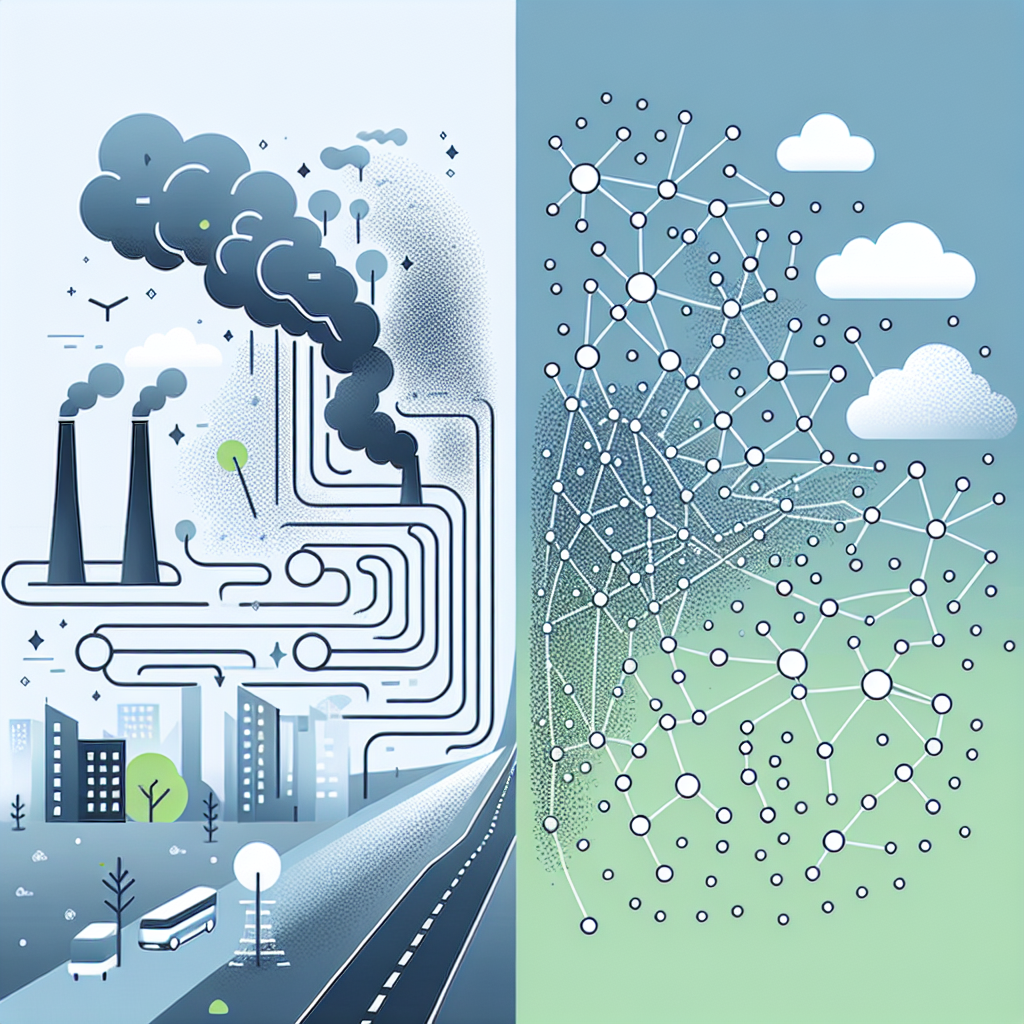
Learning Air Pollution with LSTM RNN
This paper outlines a new deep-learning algorithm that increases accuracy in estimating air pollution over large geographic scales and lengthy time periods. This can help better understand the relation between public health and long-term environmental exposures.
Spatiotemporal interpolation, Air pollution, Deep learning, Bidirectional LSTM RNN
Read More →
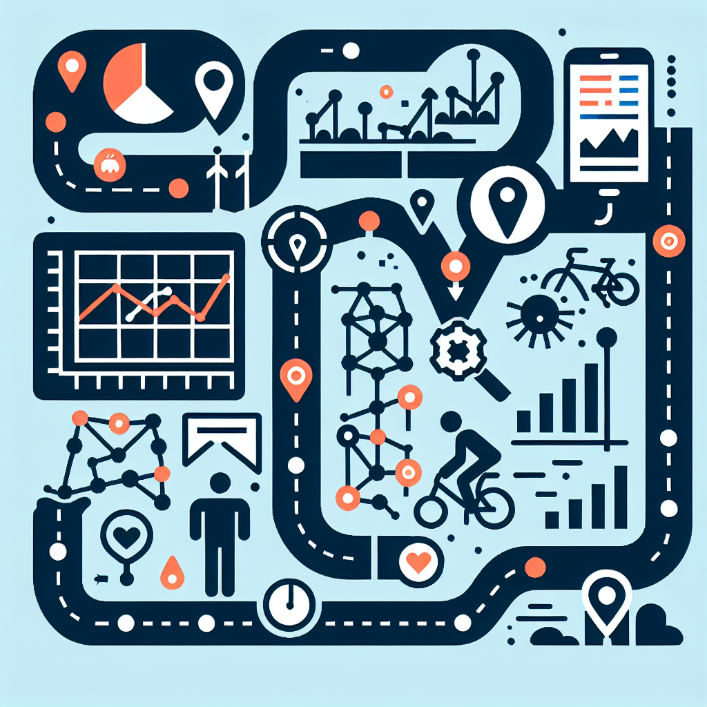
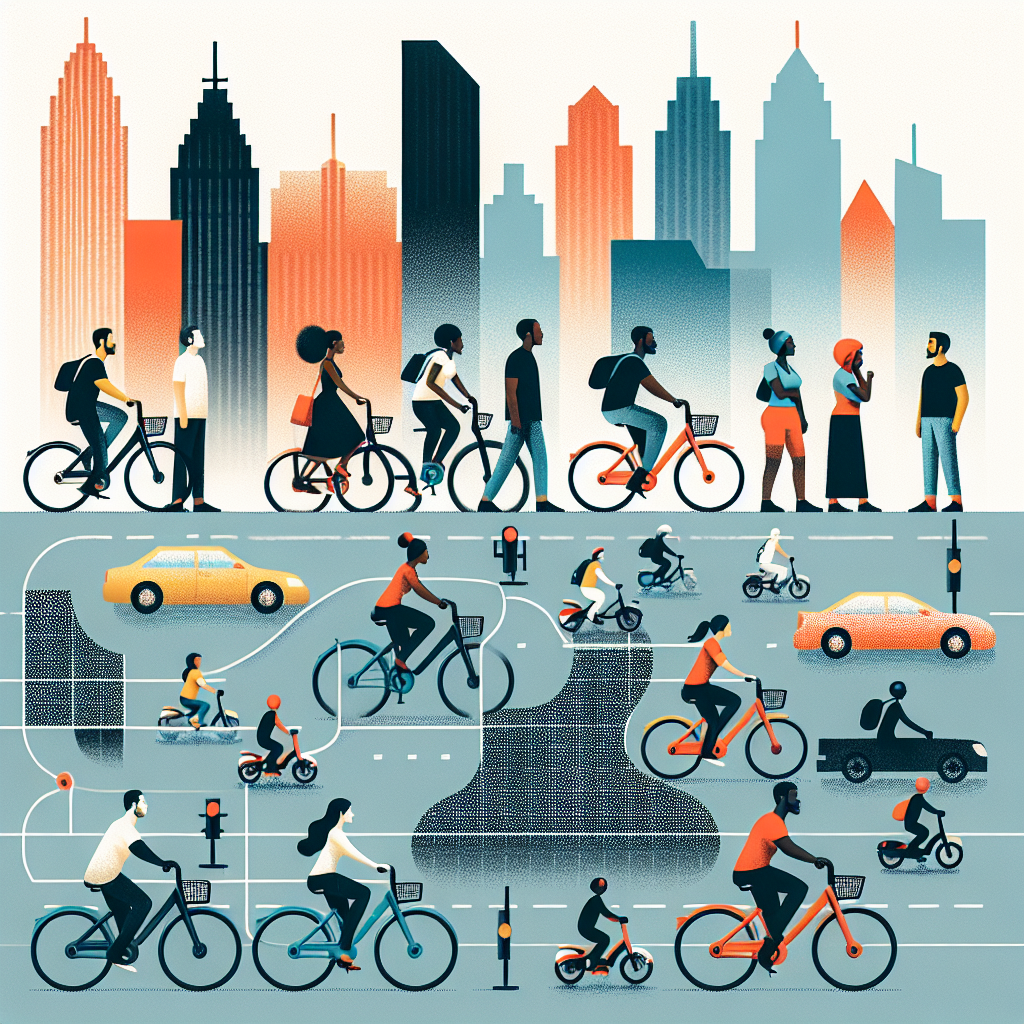
Analyzing Biking Behavior using Bike-Sharing Data
This research studies biking patterns in Chicago by analyzing massive bike-sharing data. It uncovers unique travel trends during weekdays, weekends, and for different types of riders, which could help improve bike-sharing system functionality.
biking behavior, bike-sharing data, spatiotemporal patterns, travel trends, data analysis
Read More →
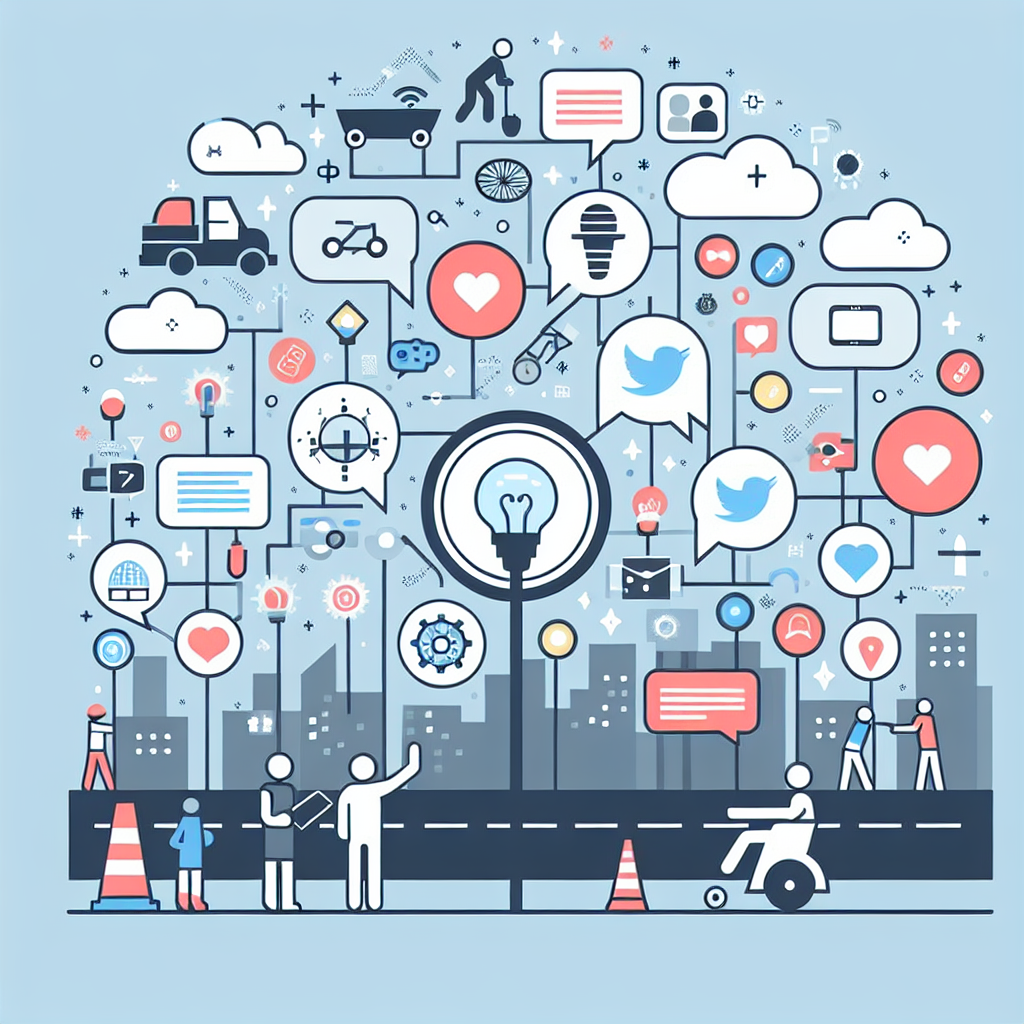
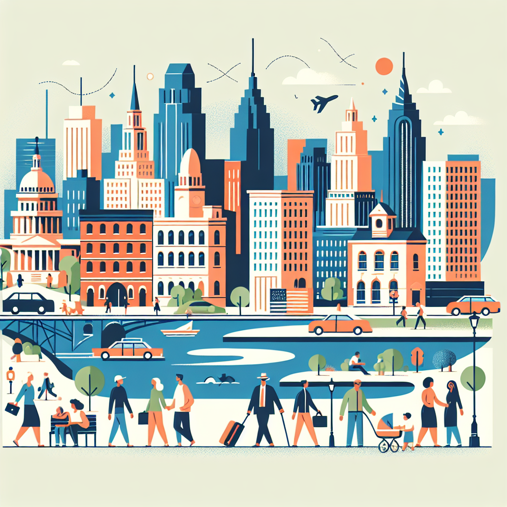
Crowdsourcing City Functions Through Social Media
This study explores how Twitter and Foursquare data can give insights into the daily activities, transportation needs, and business trends of a city, leading to a better understanding of how a city functions.
urban functions, crowdsourcing, Twitter, Foursquare, human activities
Read More →
Detecting Tourism Destinations via Geospatial Analysis
This study automates the detection of popular tourist destinations using geotagged photos on platforms like Flickr. The findings could significantly benefit tourism management.
Geo-tagged digital photos, Flickr, Geographic Information Systems, RHadoop, Spatial analytics
Read More →
Land Surface Temperature and Land-Use Change
The study investigates how changes in land-use can impact the temperature of the land surface. This research pertains particularly to urban growth and highlights the balance that water and vegetation play in offsetting the "urban heat island" effect.
land-use/cover change, urban heat island, remote sensing, geographical information systems, geographically weighted regression
Read More →
Georeferenced Word-Clouds for Health Research
The study outlines a new way of revealing patterns in public health and behavior through "georeferenced word-clouds". The findings suggest this method could enhance data analysis precision and boost the effectiveness of planning and environmental management.
Georeferenced data, qualitative data, health research, environmental management, data visualization
Read More →
Crowdsourcing-Based Travel Planning Tool
This paper presents a unique travel planning tool that uses reviews, photos, and travel costs from different online platforms to make customized travel plans. These personalized plans are useful not only for travelers but also for hotel managers to make strategic decisions.
Crowdsourcing, Travel planning, Geospatial data mining, User-generated contents, Geographic information systems
Read More →
Improving Spatiotemporal Interpolation with Machine Learning
The paper presents new methods to enhance spatiotemporal interpolation accuracy and efficiency, useful for public health applications such as studying the impact of air pollution on health.
Machine learning, Spatiotemporal Interpolation, Public Health, Air pollution, Apache Spark
Read More →
Estimating Population Exposure to Fine Particulate Matter
This study investigates different methods to estimate the exposure of the U.S. population to microscopic pollutants that can cause health problems. Their findings aid in identifying problem areas and understanding seasonal variations.
Environmental exposure, Health outcomes, PM 2.5, Spatiotemporal interpolation, Population exposure
Read More →
Analyzing Tourist-Local Interaction in US Cities
This paper uncovers how locals and tourists in ten US cities share space by using location-based Flickr data. The findings provide useful insights for urban planning and tourism research.
Volunteered geographic information, Tourist-local interaction, Spatial mix, Tourist hotspot, Local hotspot
Read More →
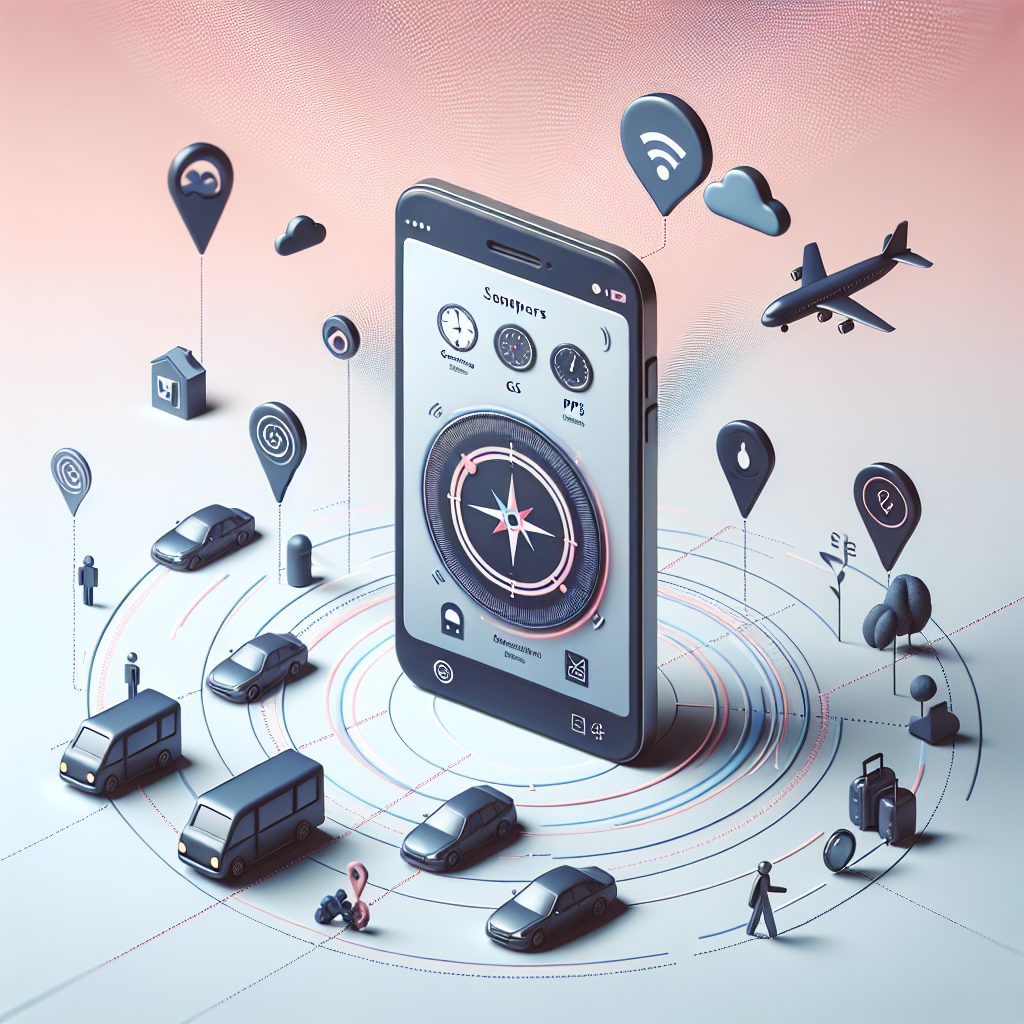
Effect of Smartphone Sensors for Travel Optimization
The study implies that smartphones' embedded sensors can enhance understanding of transportation patterns. It reduces the need for traditional time-consuming methods, like self-reporting and surveys, by tracking human movement more accurately.
Smartphones, Transportation Modes, Travel Behavior, Sensors, GPS
Read More →
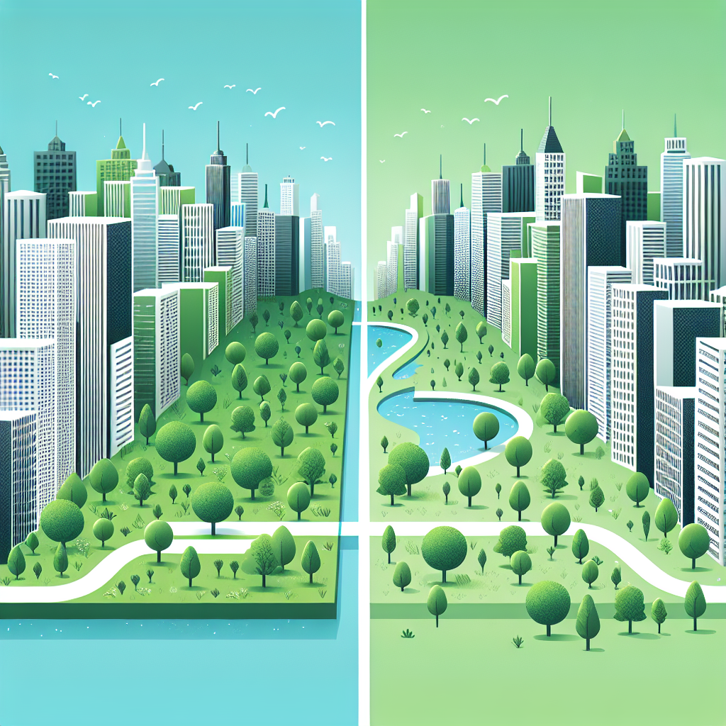
Urban Green Space Dynamics Amid Urbanization
This research measures how green space in cities has evolved due to rapid urbanization and environmental policies in China. It sheds light on how urban growth and greening strategies are shaping sustainable development.
Urban growth, Green space, Landscape pattern, Sustainable development, Rapid urbanization
Read More →
Analyzing Event Evolution with Social Media Data
This study utilizes social media data, particularly Twitter posts, to trace the development and impact of particular events in real time. The method potentially allows better understanding of city dynamics and prompt access to real-time information, benefiting various societal and decision-making applications.
social media data, machine learning, geovisualization, space-time event, spatial analysis
Read More →
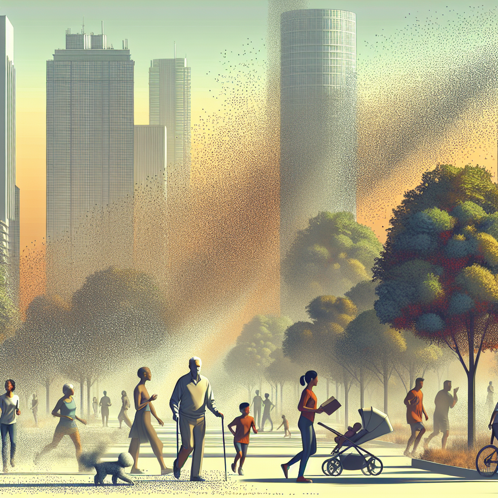
Investigating Children's Cities Play Spaces Perceptions
This study analyzes where children choose to play in rapidly urbanizing cities and their views on these places, revealing that children's play areas frequently overlap with public spaces and areas they perceive as 'bad'. The information can aid evidence-based city planning.
environmental perception, web-based participatory mapping, play places, children’s geography, urbanization
Read More →
Bike-Sharing systems and USA City Congestion
The study aims to uncover if public bike-sharing systems (BSSs) can reduce citywide congestion in the US. The study examines this via a dataset covering urban areas over a nine-year period.
Bike-sharing systems, Congestion, Urban areas, Panel regression, United States
Read More →
Tracking Human Activity Through Smartphones
This study introduces a system that uses smartphones to collect and analyze human activity data. The method helps understand our interaction with the environment better, identifying locations where individuals are most active.
human activity data, smartphone tracking, environmental interaction, location-aware technologies, data analysis
Read More →
Tracing Environmental Narratives A Web-based Tool
This study presents a new web tool that uses GPS data and user responses to visually represent people's interactions with their environment. The tool helps communities engage in planning processes and promotes environmental awareness.
Georeferenced narratives, Travel trajectories, Geographic visualization, Environmental perception
Read More →
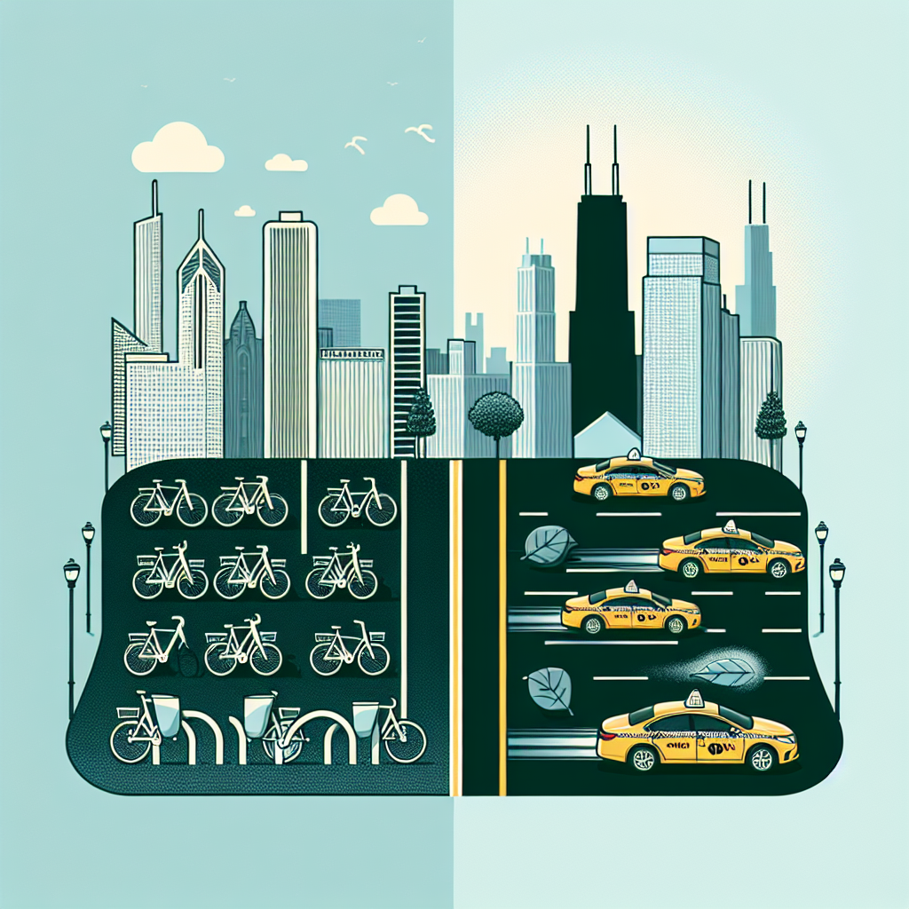
Bike-sharing vs Taxi Travel Choices in Chicago
This study uses machine learning to analyze the factors influencing why people in Chicago choose bike-sharing over taxis. The study reveals interesting insights about travel patterns, which can inform sustainable transportation planning.
Bike sharing systems, Taxi, Travel mode choice, Machine learning, Geographic information systems
Read More →
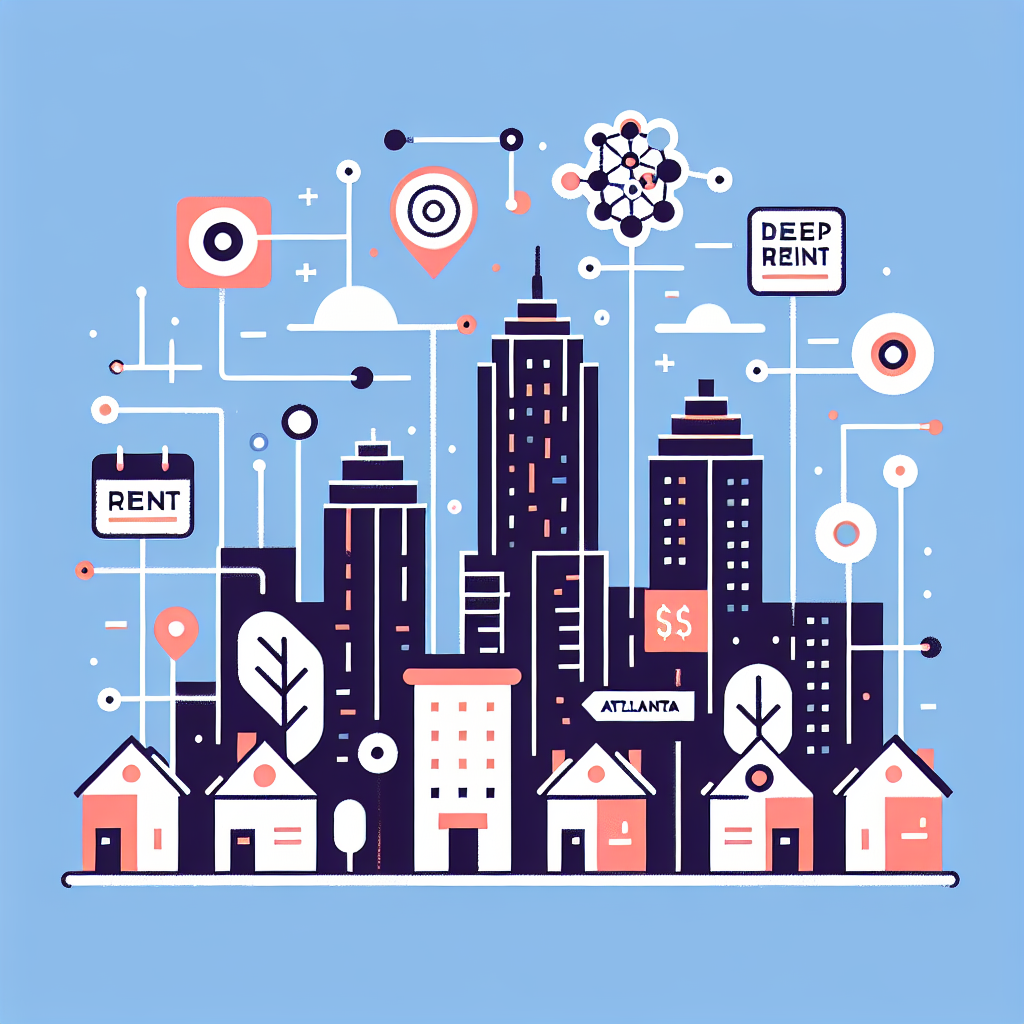
Modeling Rent in Atlanta Using Deep Learning
The study develops models to predict housing rent prices in Atlanta, using data from rental listings and deep learning strategies. This approach could increase the accuracy of rent predictions, improving real estate understanding.
Rent prediction, Atlanta, Deep learning, Housing market, Rental listings
Read More →
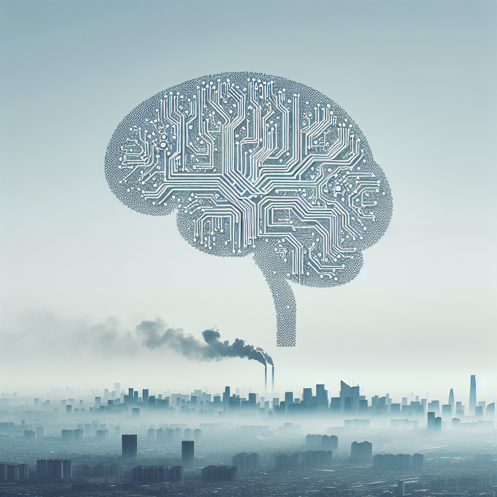
Predicting Air Pollution in China with Deep Learning
This research paper presents an innovative method using deep learning to predict PM 2.5 pollution levels across China. The approach, which combines various kinds of data, improves the accuracy of forecasts, thereby aiding in pollution prevention and health impact assessments.
Spatiotemporal interpolation, Particulate matter, Data fusion, Deep learning, Recurrent neural network
Read More →